Preserving the Past:
Stories from the Archives Blog
G. V. Nash’s An Illustrated Historical Atlas of Manitowoc County
During the 1870s, G. V. Nash actively compiled and published county maps. In 1873, he assisted E. M. Harney compile maps of Racine, Kenosha and Winnebago counties. Harney published a wall map of Manitowoc County in 1872. Nash collaborated with others on maps of Washington and Ozaukee (1874), Juneau and Portage (1876) and Pierce (1878) counties. Nash & Morgan’s Sectional Map of Wisconsin was published in 1878.
Horse Racing at the Manitowoc County Fair
The 1894 Manitowoc County Fair’s Official Score Card highlighted the gambling aspect of the horse races: “If you want to be sure of placing your money on the winning horse at the races during the fair, you can do so by calling at The Senate, 806 York Street, Carl Hansen, Proprietor. Head quarters for sporting events during the fair.”
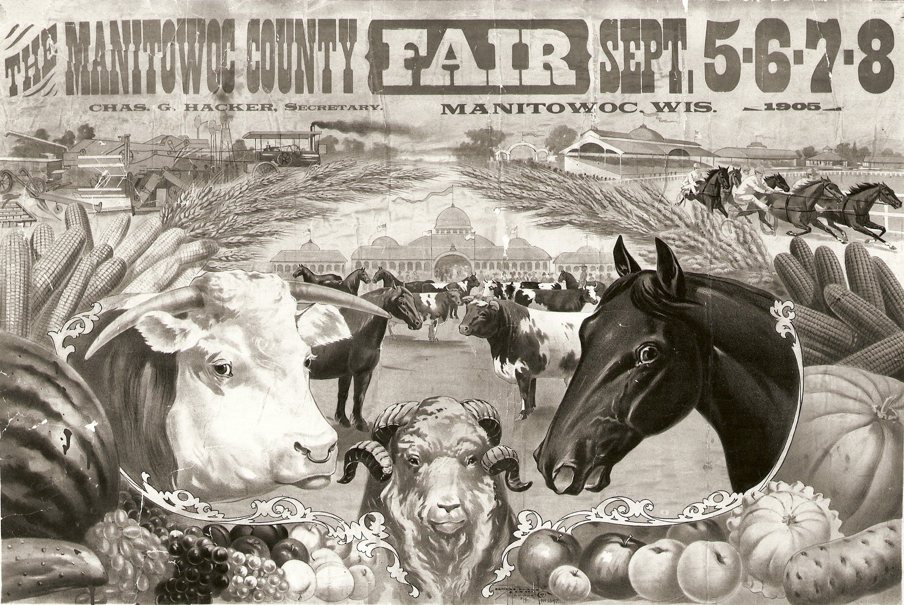
The History of the Manitowoc County Fair
In 1926 at the Convention of Fair Board in Milwaukee, F.C. Borcherdt declared that Manitowoc’s fair was the “blue ribbon fair of Wisconsin” because more registered cattle were exhibited at the Manitowoc fair than at any other county fair in Wisconsin. The Manitowoc County Fair continues to hold the title of the “blue ribbon fair of Wisconsin.”
John Nagle Monument Dedicated in 1930
On the unusually hot afternoon of Saturday, July 26, 1930, friends, teachers and former students of John Nagle gathered on the grass and under trees on the grounds of the Manitowoc County Normal School (today’s Heritage Center) on Michigan Avenue in Manitowoc to dedicate a stone monument with the inscription “To John Nagle, Educator, Philosopher, Editor, 1848-1900.”


